Solar Eclipse Decade Page
Solar Eclipses: 2081 - 2090
Fred Espenak
| Index |
| World Map of Central Solar Eclipses |
| Global Maps of Solar Eclipses |
| Global Map Animations of Solar Eclipses |
| Table of Solar Eclipses |
| Solar Eclipse Links |
| Eclipse Publications |
| Predictions Info |
Introduction
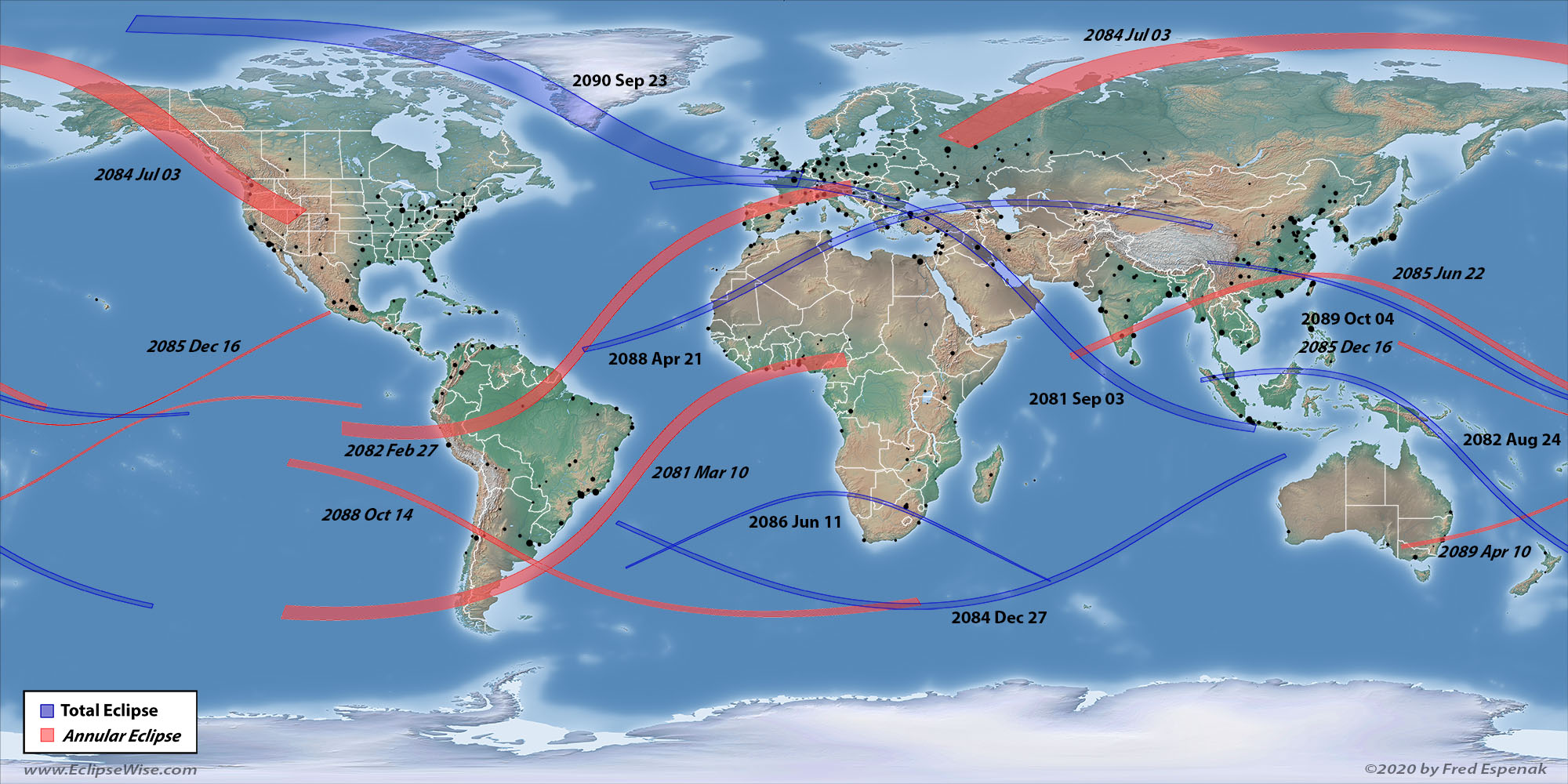
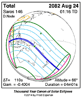
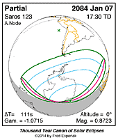
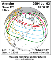
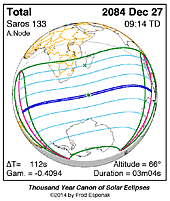
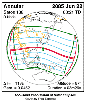
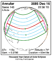
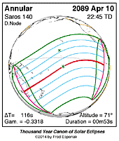
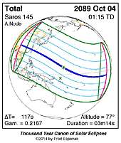
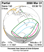
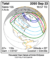
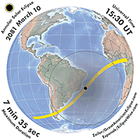
A concise summary of all solar eclipses from 2081 through 2090 is presented here in four ways. The first is a World Map showing the path of every central solar eclipse (total, annular, and hybrid). The second is a series of Global Maps showing the geographic regions of visibility for each eclipse. The third is a series of Global Map Animations showing the Moon's shadows sweeping across Earth for each eclipse. The forth is a Table listing the primary characteristics of each solar eclipse. Near the bottom of the page are a series of Links for more on solar eclipses.
World Map of Central Solar Eclipses: 2081 through 2090
The path of every central solar eclipse (total, annular, and hybrid) from 2081 through 2090 is plotted on the world map (equidistant cylindrical projection). The central paths of total eclipses are shaded blue, while annular eclipses are shaded red. For hybrid eclipses, part of the path is shaded blue (total), and part is shaded red (annular). Major cities are plotted as black dots, scaled by population size.
Click HERE for a larger version of this map
